

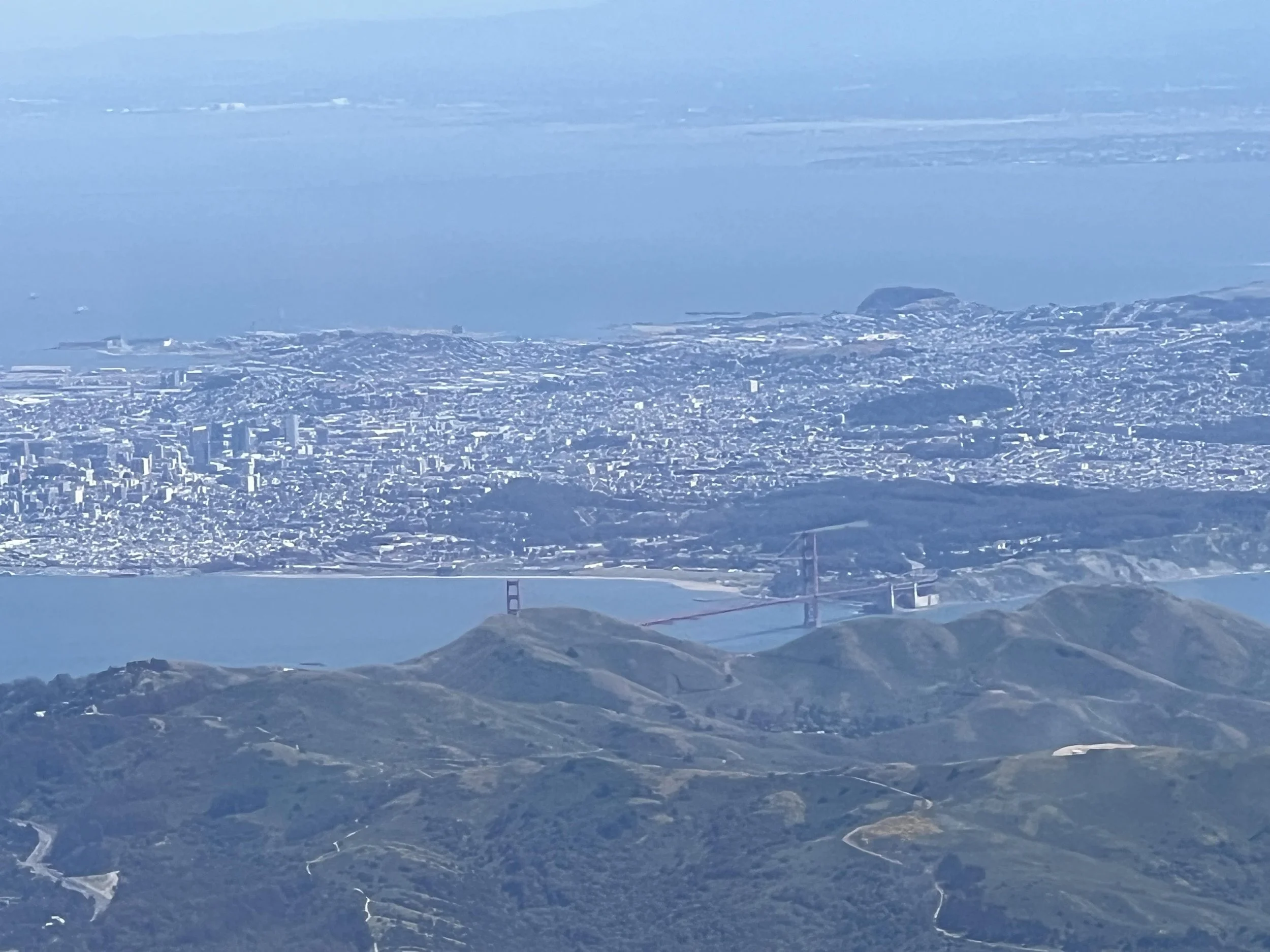
Licensed Land Surveyor Serving the SF Bay Area
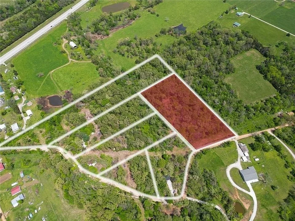
Boundary, topographic, drone/LiDAR surveys and flood certifications from a licensed Professional Land Surveyor (PLS 9471).
Surveying Services
Boundary Surveys
Locate and set your property corners using deed research, recorded maps and field evidence.
Topographic Surveys
Detailed mapping of contours, elevations, trees, structures and utilities as CAD base maps.
Records of Survey
Recorded maps filed with the county to document boundary and monument findings.
Lot Line Adjustments
Survey and mapping support to move shared lot lines between neighboring parcels.
Drone & LiDAR Mapping
Fast, high-resolution aerial mapping, orthophotos and 3D models for large or steep sites.
GNSS / GPS Control
Survey-grade GNSS control for accurate positioning and project layout.
Flood Certifications
FEMA Elevation Certificates for flood insurance and building permits.
Serving the San Francisco Bay Area, including San Mateo County, Contra Costa County, and Alameda County. Not sure if we cover your area? Call us.